Caples Cemetery
AKA Amazonia Cemetery or Boston Hill Cemetery
Amazonia, Lincoln Township, Section 36 South
Andrew County, Missouri
Section 1 |
Section 2 |
Section 3 |
Section 4 |
Section 5 |
Rows
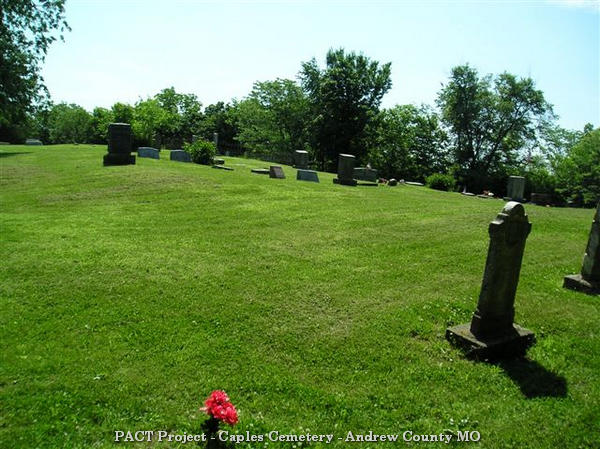 Directions: From Amazonia, east on Broadway, turn north to Main, follow Main to end
of blacktop, where the road becomes County Road 370, gravel lane to left. The cemetery
is on the top of a steep hill. The road around the perimeter is drivable in good
weather
Directions: From Amazonia, east on Broadway, turn north to Main, follow Main to end
of blacktop, where the road becomes County Road 370, gravel lane to left. The cemetery
is on the top of a steep hill. The road around the perimeter is drivable in good
weather
These pictures were taken by Joe & Keith Stanton, 2005, and Betty Halvorsen, 2006.
©THE Transcriptions (Taylor, Halvorsen, Eshelman).
* Indicates African-Americans
+ Indicates obituary available
Section 1
Furthest east section of cemetery, beginning at south end
| Row |
Direction of Row |
Photographs |
|
1
|
South to north
|
01B-12
|
|
2
|
North to south
|
13-19
|
|
3
|
South to north
|
20-28 33-35
|
|
4 (very irregular)
|
|
95B, 36-63 29B-32B, 27B 67bB, 69, 88B, 90B-94B, 70B
|
|
5
|
|
71-84B
|
|
6
|
|
85aB-87
|
Section 2
Starts at southern edge of cemetery
| Row |
Direction of Row |
Photographs |
|
1
|
South to north
|
01aB-11bB 13B-19B 12B, 20B-30B
|
|
2
|
North to south
|
31-39bB, 72aB, 72bB, 40B, 79B, 41B, 41bB, 41aB
|
|
3
|
South to north
|
41-49bB, 69B, 70B, 71B, 50aB-51cB, 67B, 68B, 64B-66B
|
|
Cluster of stones
|
|
52aB-63B
|
Section 3
On south side of ridge which runs roughly east and
west through the middle of the cemetery
| Row |
Direction of Row |
Photographs |
|
Row
|
Direction of row
|
Photographs
|
|
1 (starting at southeast corner)
|
South to north
|
001B-006
|
|
2
|
North to south
|
007-018
|
|
3
|
South to north
|
019-022B
|
|
4
|
North to south
|
023B-025
|
|
5
|
South to north
|
026B-038
|
|
6
|
North to south
|
040, 042, 041, 041B, 043-051
|
|
7
|
South to north
|
052-062bB
|
|
8 (not straight)
|
North to south
|
063, 067B, 064aB-074
|
|
9
|
South to north
|
075-080
|
|
Cluster north of fenced plot
|
|
081B-085B, 109B, 086, 087
|
|
Family plot
|
|
088-101
|
|
Cluster south of fenced plot
|
|
102aB-107B
|
Section 4
Runs parallel to Section 3, on the north side of the
dividing ridge, continues to near west end of cemetery
| Row |
Direction of Row |
Photographs |
|
1
|
South to north
|
01B-02bB
|
|
2
|
North to south
|
03-14cB
|
|
2.5 (family plot)
|
|
15-18B
|
|
3
|
North to south
|
19aB-23B
|
|
4
|
South to north
|
24-28B
|
|
5
|
North to south
|
30-32B
|
|
6
|
South to north
|
33-36
|
|
7
|
North to south
|
37, 37B, 48B, 82aB, 82bB, 38-42
|
|
8
|
South to north
|
43-51
|
|
8.5
|
|
52B
|
|
9
|
South to north
|
53B-62, 47B
|
|
9.5
|
|
63
|
|
10
|
North to south
|
64-67
|
|
11
|
South to north
|
70-72
|
|
12
|
North to south
|
73-77
|
|
13
|
South to north
|
78-80
|
|
Alone, end of section
|
|
81
|
Section 5
Western end of cemetery, cemetery drive is the boundary to the west and south
| Row |
Direction of Row |
Photographs |
|
1 (starting at west side)
|
South to north
|
001B-009bB
|
|
2
|
North to south
|
010B-014
|
|
3
|
South to north
|
015B, 016
|
|
4
|
North to south
|
017-026
|
|
5
|
South to north
|
027-046
|
|
6
|
North to south
|
047-058
|
|
7
|
South to north
|
059B-061, 68B, 69B, 062B-067
|
|
8
|
North to south
|
068, 069B, 071B, 073
|
|
9
|
South to north
|
074B, 077B-096
|
|
10
|
North to south
|
097-103
|
[Return to Top]