Walnut Grove Methodist Cemetery
AKA Radical Cemetery
Platte Township, Section 17 West
Andrew County, Missouri
 Directions: From Savannah, take State Route E west to SR D, north (there
is one jog to the east) to Highway 48, west about 0.5 miles to SR B, north about
2.5 miles to County Road 120, west 0.1 mile. Cemetery is on the south side of the
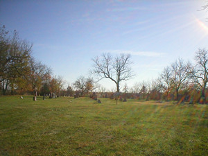
CR 120. [Rows]
Directions: From Savannah, take State Route E west to SR D, north (there
is one jog to the east) to Highway 48, west about 0.5 miles to SR B, north about
2.5 miles to County Road 120, west 0.1 mile. Cemetery is on the south side of the
CR 120. [Rows]
Note: This cemetery originally was in the church yard of Walnut Grove Methodist Church,
which burned in 1936 and was not rebuilt.
These pictures were taken by Joe & Keith Stanton, 2005, and Betty Halvorsen, 2005-2006,
and Judy Flora 2012. ©THE Transcriptions (Taylor, Halvorsen, Eshelman).
* Indicates African-Americans
+ Indicates obituary available
Row
Beginning in NW Corner
|
Direction of Row |
Photograph(s) |
|
1
|
north to south
|
001-13B
|
|
2
|
south to north
|
015B-028, 336B, 337B, 029-039
|
|
3
|
north to south
|
040-065Bc
|
|
4
|
south to north
|
066B-068B, 330B, 069-105
|
|
5 (short row, all at south end of cemetery)
|
north to south
|
106B-106Bb, 331B, 107-122B
|
|
6
|
south to north
|
123B-166
|
|
7
|
north to south
|
167-201B, 332B, 202B-223B
|
|
8
|
south to north
|
224B-227B, 333B, 228B-252
|
|
9
|
north to south
|
253-294
|
|
10
|
south to north
|
295B-310
|
|
11
|
north to south
|
335B, 311-329
|
[Return to Top]