 Directions: From Savannah, east on State Route E 3 miles to SR D. North
and north/east on D 10.1 miles to Highway 48. West on Highway 48 0.5 mile to SR
B, north and northwest about 8 miles to SR 125 (N Highway). South on SR 125 0.6
miles to CR 126. North and east on 126 0.6 miles to cemetery.
Directions: From Savannah, east on State Route E 3 miles to SR D. North
and north/east on D 10.1 miles to Highway 48. West on Highway 48 0.5 mile to SR
B, north and northwest about 8 miles to SR 125 (N Highway). South on SR 125 0.6
miles to CR 126. North and east on 126 0.6 miles to cemetery.
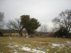
These pictures were taken by Betty Halvorsen, 2005. ©THE Transcriptions (Taylor,
Halvorsen, Eshelman).
North Section
Row
Beginning in NW Corner |
Direction of Row |
Photograph(s) |
|
1
|
north to south
|
005-008
|
|
2
|
south to north
|
009-019
|
|
3
|
north to south
|
020-027
|
|
4
|
south to north
|
028-043
|
|
5
|
north to south
|
044-048
|
|
6
|
south to north
|
050-091
|
|
7
|
north to south
|
093, 094
|
|
8
|
south to north
|
095-100
|
|
9
|
north to south
|
101-131
|
|
10
|
|
132, 133
|
South Section
Row
Beginning in NW Corner |
Direction of Row |
Photograph(s) |
|
1
|
|
134
|
|
2
|
south to north
|
135-144
|
|
3
|
north to south
|
145-151, 169, 153-165
|
|
4
|
south to north
|
167-171
|
|
5
|
north to south
|
172-175
|
[Return to Top]