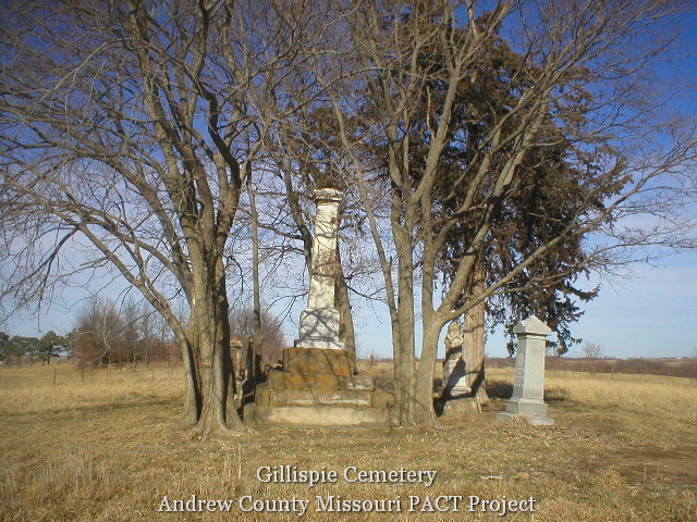
Fairview Christian Church Cemetery
AKA Rhoades Cemetery
Benton Township, Section 16
Andrew County, Missouri
Directions: From Savannah, 0.4 miles east on Highway E to Highway C. North on Highway C 4.3 miles to County Road 164. West/northwest 0.9 mile on CR 164. Double gate across lane to drive up hill to cemetery. Gate was double-padlocked with no trespassing signs and top rail of gate painted purple (the universal no trespassing color). The cemetery is up a hill about 0.1 mile.
Notes: Fairview is in fairly good condition, mowed, but has many broken stones and a pile of footstones to south side of cemetery. Caution: If there are leaves on ground, walk carefully, as many graves are deeply sunken and walking is perilous. Also, many trees have been cut, but the stumps are above ground and will cause tripping.
Credits: These pictures were taken by Joe & Keith Stanton, 2005, and Betty Halvorsen, 2006. (c)THE Transcriptions (Taylor, Halvorsen, Eshelman).
Continue reading →